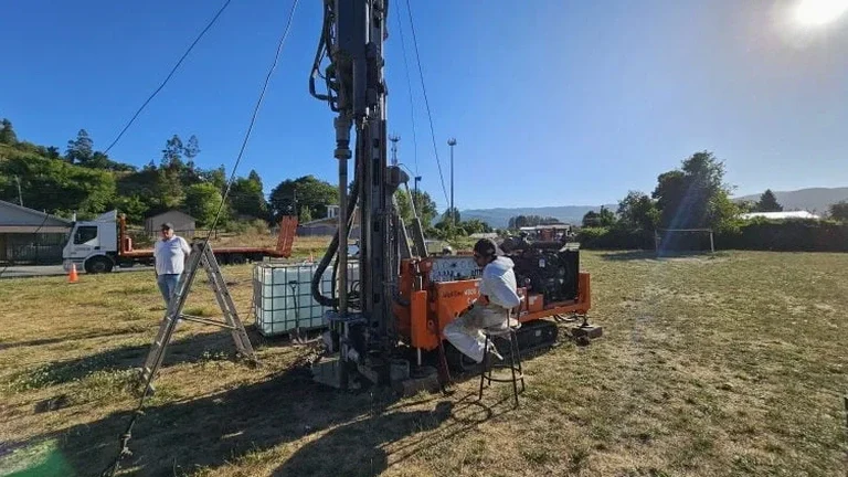
Last fall we opened a test pit on Galt Street West near the Magog River where a developer planned a five-story mixed-use building. The borehole log showed stiff clay, but the excavator bucket uncovered a lens of saturated silt at 2.4 meters that changed the entire drainage strategy. That is exactly why we still put a machine in the ground here. Sherbrooke sits on a complicated package of glacial till, marine clay from the old Champlain Sea, and fractured shale bedrock that varies block by block. A single SPT drilling run gives you numbers, but a properly logged test pit lets you see the contact zones, measure joint spacing in the shale, and take block samples that preserve the soil structure. Our crew works with local excavator operators who know how to bench safely in St. François valley overburden, and we have pulled undisturbed Shelby tube samples from pit floors when the water table cooperates. For projects near the university ridge or up toward Fleurimont, access is tight, so we coordinate traffic control and backfill the same day.
A test pit turns a one-dimensional borehole log into a three-dimensional understanding of the ground—there is no substitute for seeing the soil with your own eyes.
Local ground factors
What we keep seeing in Sherbrooke is site investigations that skip the test pit and go straight to a drill rig, then the excavation contractor hits buried organics or an old foundation that nobody expected. Along the Magog and Saint-François river corridors there are historic fill layers—brick fragments, wood debris, ash—that a split-spoon sampler simply misses. When these layers get saturated during spring thaw the excavation sides can ravel fast, and we have been called to sites where a trench box was needed after the fact because the soil description on paper did not match what was in the ground. In the clay-rich zones between Rock Forest and Deauville, we watch for desiccation cracks and slickensides that indicate pre-existing shear planes; if the pit walls show them, the slope stability analysis parameters get revised before the shoring design is finalized. Winter work adds another layer: frost penetration here commonly reaches 1.4 meters, so a pit opened in February can look deceptively competent until thaw releases the ice bonds.
Frequently asked questions
How much does an exploratory test pit cost in Sherbrooke?
For a standard pit up to 3.5 meters deep with machine access, logging, sampling, and same-day backfill, our work in the Sherbrooke area typically runs between CA$670 and CA$1,140. The final number depends on depth, whether we hit refusal on bedrock, the number of samples taken, and any traffic control or utility locates required.
How deep can a test pit go in Sherbrooke's soils?
Most pits in the region reach 2.5 to 4.5 meters with a standard excavator, but depth is limited by the water table and the stability of the Champlain Sea clay. When we encounter saturated sensitive clay we bench the sides or stop at the seepage horizon. In Lennoxville where bedrock is shallow, refusal often controls the depth rather than soil strength.
What information does a test pit give that a borehole does not?
It exposes the stratigraphy continuously so we can see thin silt seams, fissures, oxidation bands, and buried fill layers that a split-spoon sample can miss. We can also take oriented block samples that preserve soil fabric for lab testing, measure joint spacing in bedrock directly, and observe how groundwater enters the excavation—all things a drill log cannot capture.