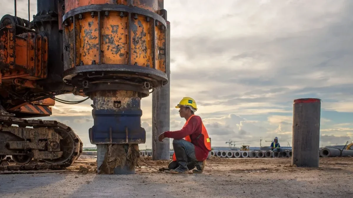
Sherbrooke sits at 180 m elevation in the St. Francis River valley, where the overburden can swing from dense glacial till to 30 m of soft Champlain Sea clay within a single lot. That contrast is exactly what drives the need for a reliable Vs30 measurement under NBCC 2020. The MASW method gives us a direct shear-wave velocity profile without drilling, which matters when access is tight between century-old triplexes on King Street or when the water table sits at 1.5 m in Lennoxville. We run active-source MASW with a 24-channel seismograph and 4.5 Hz geophones, processing the fundamental-mode Rayleigh wave dispersion curve on site. For deeper profiles, we combine it with the seismic refraction method to cross-check bedrock depth, especially in zones where the till–rock interface is irregular.
The Vs30 number is not the deliverable — the deliverable is knowing whether your Sherbrooke site is Class C, D, or E without drilling a single borehole.
Frequently asked questions
What is the cost of a MASW survey for a residential lot in Sherbrooke?
For a standard residential lot in Sherbrooke requiring a single active-source MASW line with Vs30 computation and a signed site classification report, the range is CA$2,460 to CA$4,310 depending on spread length, access conditions, and whether passive-source supplementation is needed for deeper profiles.
How does MASW compare with a borehole for site classification?
MASW gives you the shear-wave velocity directly, which is what NBCC 2020 needs for site class. A borehole gives you stratigraphy and N-values, but the Vs has to be estimated from correlations — and those correlations can be off by 30% in Sherbrooke's mixed glacial sediments. We often do both: the borehole for bearing capacity and the MASW for the velocity profile.
Does frozen ground affect the MASW measurement in winter?
Yes. In Sherbrooke, the frost penetration reaches about 1.2 m by February. A frozen crust can create a high-velocity cap that masks the true Vs of the underlying soil. We schedule MASW surveys between April and November where possible, or we couple the geophones below the frost layer if winter work is unavoidable.
What is the minimum lot size needed for a MASW survey?
We can work with a 23 m clear line, which gives a 10–12 m investigation depth — enough to compute Vs30 for most Sherbrooke sites where the bedrock is shallower than 15 m. For deeper profiles, we need 46 m or more, which is usually available on suburban lots in Rock Forest or Saint-Élie.