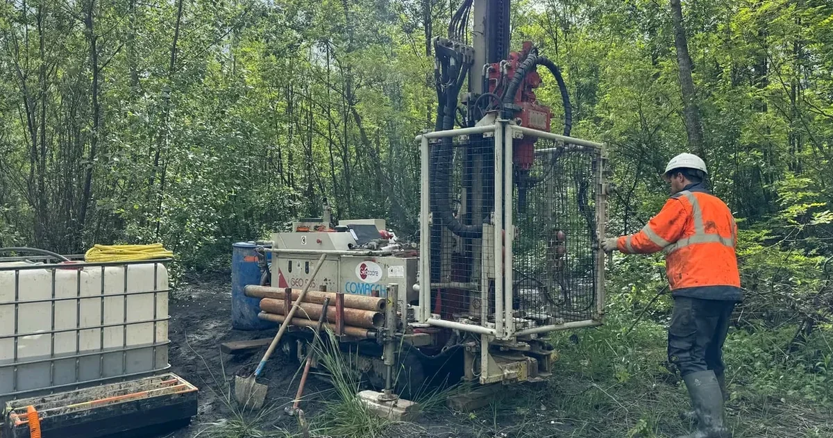
Sherbrooke sits at an elevation of roughly 180 meters in a valley carved by the Saint-François and Magog rivers, where glacial and post-glacial deposits create a layered subsurface that demands careful characterization before any structural load is applied. The city’s population has grown by nearly 8% over the last decade, pushing residential and commercial development onto terrain where sensitive clay, till, and fractured bedrock coexist within a few meters of grade. A soil mechanics study here is not a generic checklist—it must account for the transition zones between the Appalachian uplands and the St. Lawrence Lowlands, which influence everything from frost penetration depth to seismic response. Our team runs that investigation with an approach that combines field reconnaissance, laboratory testing, and numerical modeling calibrated to the specific overconsolidation ratios found in the Champlain Sea sediments that underlie parts of the borough. When the geotechnical profile is complex, we often pair the initial borehole campaign with a CPT test to capture continuous stratigraphy in the silty-clay layers that dominate the valley floor.
The Saint-François River valley conceals a transition from glacial till to sensitive marine clay within a few meters—an interface that dictates whether your foundation succeeds or fails.
Local ground factors
Sherbrooke’s urban fabric expanded rapidly after the 1960s, when former industrial corridors along the Saint-François were converted into residential and mixed-use zones—often without a thorough understanding of the fill materials and buried infrastructure left behind. One of the most recurrent problems we encounter in these redeveloped sectors is uncontrolled fill containing organic debris, brick fragments, or timber remnants that generate methane and create differential settlement decades after the initial construction. A soil mechanics study that skips detailed logging of these anthropogenic layers can miss pockets of highly compressible material, leading to cracked slabs, tilted retaining structures, and stormwater drainage failures. Equally critical in Sherbrooke is the presence of sensitive clay in the low-lying areas of Fleurimont and Brompton, where undisturbed strength can drop by an order of magnitude if remolded during excavation—a risk that requires conservative slope design and careful groundwater control.
Relevant standards
NBCC 2020 (National Building Code of Canada, Part 4 — Structural Design), CSA A23.3:19 (Design of Concrete Structures — geotechnical input for foundations), ASTM D2487-17 (Standard Practice for Classification of Soils for Engineering Purposes), ASTM D1586-18 (Standard Test Method for Standard Penetration Test), BNQ 2501-092 (Soils — Determination of consolidation properties)
Frequently asked questions
How long does a soil mechanics study take for a typical Sherbrooke residential project?
For a single-family residential lot under 1,000 m², the field investigation usually requires one day on site, followed by two to three weeks of laboratory testing and reporting. More complex sites—such as those with fill or sensitive clay—may extend the timeline by an additional week because consolidation tests require longer curing and loading cycles.
What does a soil mechanics study cost in Sherbrooke?
The cost for a soil mechanics study in Sherbrooke generally ranges from CA$4,230 to CA$7,450, depending on the number of boreholes, the depth of investigation, and the laboratory tests required. Projects on challenging terrain, such as steep slopes in the Mont-Bellevue area or sites with known fill, tend to fall toward the upper end of that range due to additional sampling and analysis.
Is a soil mechanics study mandatory for obtaining a building permit in Sherbrooke?
The City of Sherbrooke requires a geotechnical report signed by a professional engineer for most new construction and major renovations, particularly in zones mapped as having sensitive clay or high water table. The report must demonstrate compliance with Part 4 of the NBCC and address bearing capacity, settlement, frost protection, and any slope stability concerns.
How do you handle the sensitive clay that is common in Sherbrooke?
Sensitive clay is sampled using thin-walled Shelby tubes to minimize disturbance, then tested for undisturbed and remolded shear strength. When the sensitivity exceeds 8–10, we recommend reduced slope angles, staged excavation procedures, and in some cases, preloading or soil improvement before foundation construction begins. The analysis follows the framework for extra-sensitive clays outlined in the Canadian Foundation Engineering Manual.